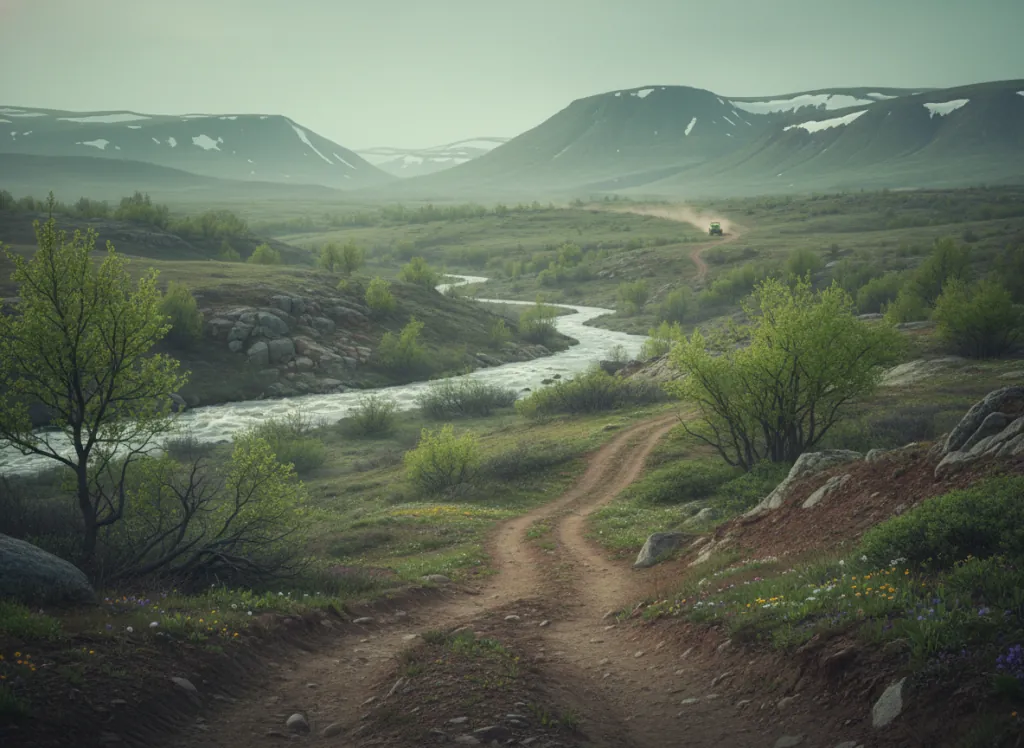
The Arapaho and Roosevelt National Forests encompass 1.5 million acres of the Colorado Front Range in Boulder, Clear Creek, Gilpin, Grand, Jackson, Larimer, and Grand counties, the mountain terrain directly west of the Denver-Fort Collins metropolitan corridor, providing the closest national forest OHV access for the Denver metropolitan area's three million residents. The combined forest stretches from the Wyoming border in the north (Poudre Canyon country above Fort Collins) to the Guanella Pass area south of Idaho Springs in the south, covering the entire Front Range uplift from the plains edge to the Continental Divide. The OHV trail system operates on designated routes across the forest's Canyon Lakes, Boulder, Clear Creek, Sulphur, and Pawnee Ranger Districts, with the Poudre Canyon, Laramie River, and North Park districts providing the most extensive designated OHV networks. The Canyon Lakes District north of Fort Collins on US-287 provides the most accessible OHV terrain for the Northern Colorado corridor: the Cache la Poudre River canyon, the Laramie River headwaters in the Rawah Wilderness margins, and the open sagebrush parks of North Park near Walden provide varied terrain from canyon riding to high-elevation plateau. The Sulphur District west of Denver on US-40 provides the Fraser Valley, Grand Lake, and Williams Fork areas, the high-altitude riding country adjacent to Rocky Mountain National Park that serves the entire Denver metro market. Colorado OHV registration required. Canyon Lakes Ranger District at Fort Collins (970-295-6600) manages current northern district OHV trail conditions.
Hours
Accessible approximately June through October; Indian Peaks and Never Summer routes close under snow. No day-use fee. Colorado OHV registration required.
Phone
970-295-6600Website
https://www.fs.usda.gov/arpTrip openings, seasonal updates, and the occasional deal, straight to your inbox.
FAQ
Everything you need to know before you get started.
Have a question, or ready to book? Reach out and we’ll get right back to you.